Thinking globally and mapping locally
Akiyuki Kawasaki maps water flow in the developing world
Akiyuki Kawasaki thinks globally and maps locally.
To do that, the Japanese researcher, who is spending the academic year as a visiting scholar at Harvard’s School of Engineering and Applied Sciences, has developed software that allows researchers to predict how changes in population, land use, climate, urbanization, agriculture and other variables will affect water flow in a given area.
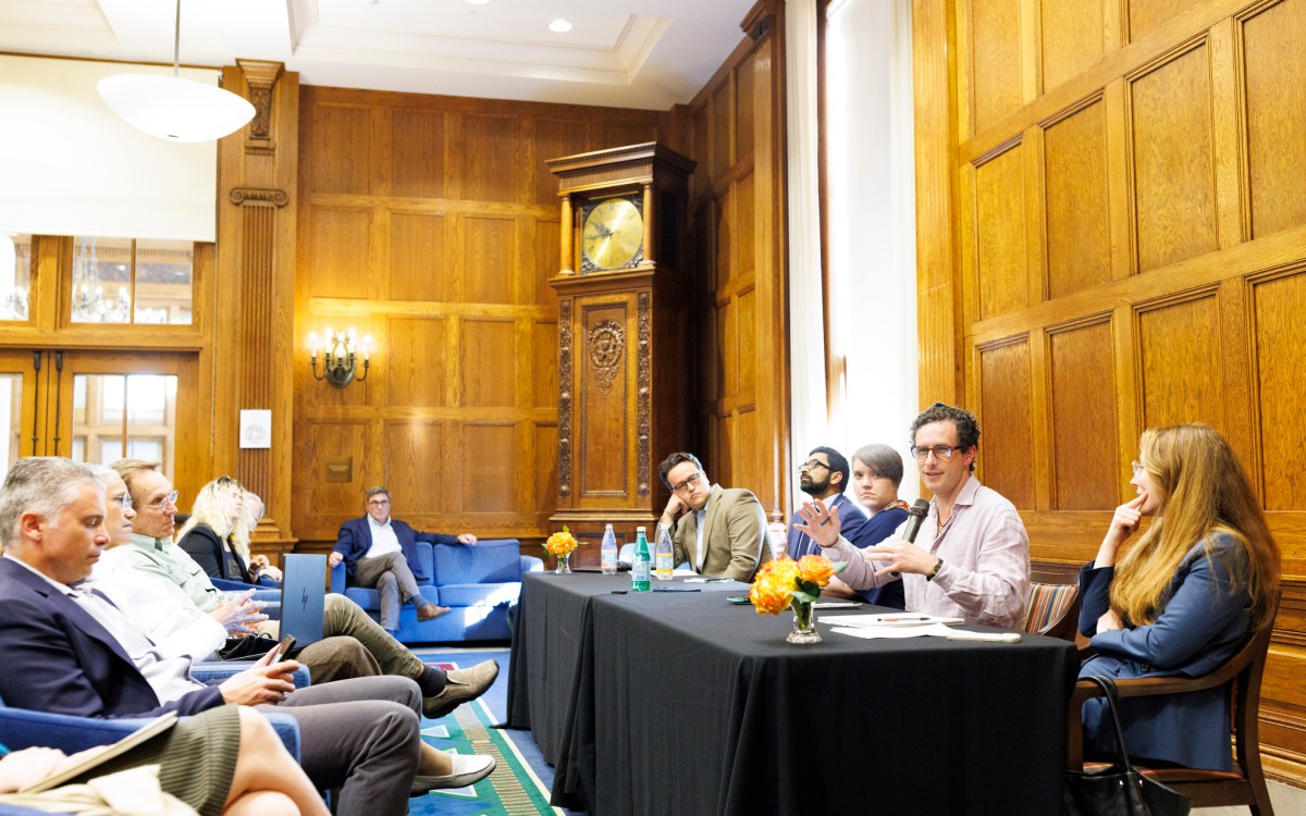
Speaking recently to an audience at Harvard’s Center for Geographic Analysis (CGA), Kawasaki said, “We need to address climate change. To do that it’s necessary to make changes at a local level. This software lets us analyze local water systems and make predictions about them so we can plan wisely.” For his project at Harvard, Kawasaki chose to study the Sre Pok River Basin, a watershed that overlaps Vietnam and Cambodia.
In November 2007, Kawasaki and a Vietnamese student from the Asian Institute of Technology in Thailand traveled to Vietnam to get a firsthand look at the rivers, streams, and canals that flow into the basin and to gather the data he would need to create his maps. Kawasaki told the group that getting information from this part of the world can be challenging. Records are not easily available because officials are often reluctant to provide access. And, he said, compared to data available in developed countries, the data in this part of the world is incomplete and of lower quality.
Luckily a local organization, the Mekong River Commission, had good geographic information systems (GIS) data of the area including Cambodia, which he was able to use. Kawasaki and his student tracked down enough usable information about population growth, soil, agriculture, forestry, rainfall, and climate change to make his model work.
Collaborating with Peter Rogers, McKay Professor of Environmental Engineering and professor of city and regional planning at Harvard, and Janet He, a Harvard undergraduate applied mathematics concentrator, Kawasaki fed the data into the universally available Arc Hydro and ArcGIS software programs. The team transformed the data into a series of sophisticated maps that dramatically display relationships between population and natural systems and predict how the combined forces of water demand, agricultural development, urbanization, and climate change will affect water flow in the years 2025 and 2050.
During a question-and-answer period, participants expressed excitement about the potential for using the software in policy-making. They saw Kawasaki’s prototype as a tool for governments to move towards community-based watershed management, so, for example, districts or nations could agree on regulations that would prevent a factory upstream from polluting water that affects the people who live downstream in a different jurisdiction.
Kawasaki is eager to begin collaborating with the John F. Kennedy School of Government on just such policy issues. Researchers from the Harvard School of Public Health attended the presentation to explore the prototype’s application in meeting such challenges as malaria and water-borne infectious diseases. It was the opportunity for collaboration and global initiatives that drew Kawasaki to Harvard in the first place.
Prior to coming to Harvard, Kawasaki and a group at Yokohama National University modeled the Kanagawa Basin, an area south of Tokyo with a population of 8 million. To complete the project, they mapped every water system in the basin, from the catchment areas at higher elevations to rivers and streams to an intricate system of canals. He then compared the growth in human population and changes in land use to fluctuations in water quality over a 20-year period. The project gave him a deeper understanding of mapping systems and valuable experience in gathering data from stakeholders. Now he was looking for the opportunity to expand his research to explore watersheds in a developing country.
In 2006, Kawasaki saw a video of former Harvard President Lawrence H. Summers speaking at the opening of the CGA and said that Summers’ description of the broad collaborative possibilities offered by the Center made him want to come to Harvard.
In fact, the mission of the Center for Geographical Analysis at Harvard is to bring
together researchers and collaborators from different departments at
Harvard and from institutions around the world. As a support team, they
work with researchers like Kawasaki and help connect them to researchers in other
departments who will benefit from innovations in GIS.
“The Center for Geographic Analysis is unique,” said Wendy Guan, director of geographic information systems research services for the Center for Geographic Analysis. “Many universities have GIS centers but they tend to serve one area, for example geography or planning, and have little to do with other departments and schools that can really benefit from the tool. Our center is a model for a new way of integrating GIS across disciplines.”
Jeffrey Blossom, senior GIS specialist at the Center for Geographical Analysis, expressed enthusiasm for the future of Kawasaki’s prototype because of its flexibility. “The prototype is built on the ArcGIS platform which is universally accessible,” said Blossom. “Once his model is published, it can be widely disseminated. Other users can plug in their own data to explore small local areas, regions, or even continents. It’s a very sophisticated template that can be adapted by anyone who is interested in studying the same type of phenomena in a similar area. Data maps from Kawasaki’s template can provide concrete information and common ground to policy makers, particularly in developing nations where interests may not always align.”


